When you bring up long nature trails throughout the world, in Japan (and perhaps throughout the world?) we tend to think of the Pacific Crest Trail of the western United States, famous thanks to the 2014 film “Wild.” And in Europe, there’s the Way of St. James (Camino de Santiago), a pilgrimage route that which was designated a UNESCO World Heritage Site in 1993.
In Japan, following the March 2011 earthquake and tsunami disaster, a movement was started to create a long trail on the coast of Tohoku which was affected by the tsunami. It would be the first long trail outside of the west, and a wonderful way to attract tourists from both Japan and the rest of the world to come see the and learn more about the coastal areas.
After eight years, the 1,000 km long “Michinoku Coastal Trail (MCT)” was completed on June 9th, 2019! Just as the Appalachian Trail in the US has been designated a National Scenic Trail, the MCT has been designated as the first National Trail in Japan (as you walk through a national park).
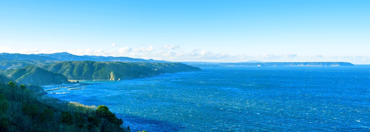
1.png) The MCT lies on the Pacific Coast of Tohoku (a region of Japan northeast of Tokyo), and stretches through four prefectures: Aomori, Iwate, Miyagi, and Fukushima. As you walk the Pacific coastline, which suffered immensely from the tsunami, you’ll feel the salty winds of the ocean, and see how far the reconstruction has come. Worldwide, it appears there aren’t many trails where you can walk right by the ocean like this.
The MCT lies on the Pacific Coast of Tohoku (a region of Japan northeast of Tokyo), and stretches through four prefectures: Aomori, Iwate, Miyagi, and Fukushima. As you walk the Pacific coastline, which suffered immensely from the tsunami, you’ll feel the salty winds of the ocean, and see how far the reconstruction has come. Worldwide, it appears there aren’t many trails where you can walk right by the ocean like this.
As all of our ILC researcher fans know, Iwate Prefecture is home to the Kitakami candidate site for the ILC, but it’s also home to some of the toughest parts of the MCT. Scale rugged cliffs and traverse pitch-black tunnels with a flashlight as you walk this adventurous course also known as the “Ocean Alps.” (I’ll show you what it’s like in my next article!)
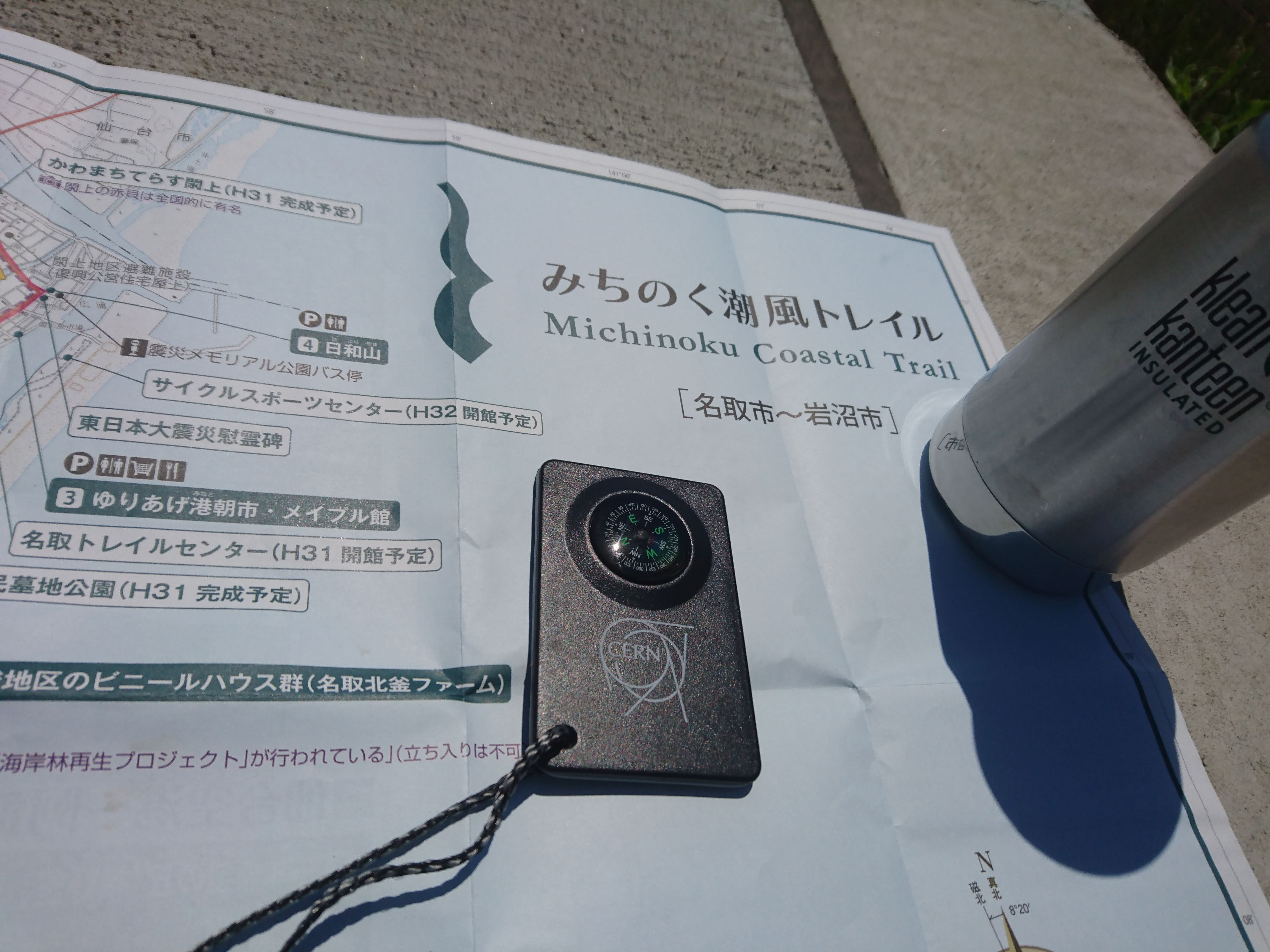
In this article, I’ll talk about an 8km route I walked from Sendai International Airport (the gateway to the Tohoku region) to the Natori Trail Center, a newly built information center for the MCT. The route I walked is similar to what’s shown on the map below.
2.png)
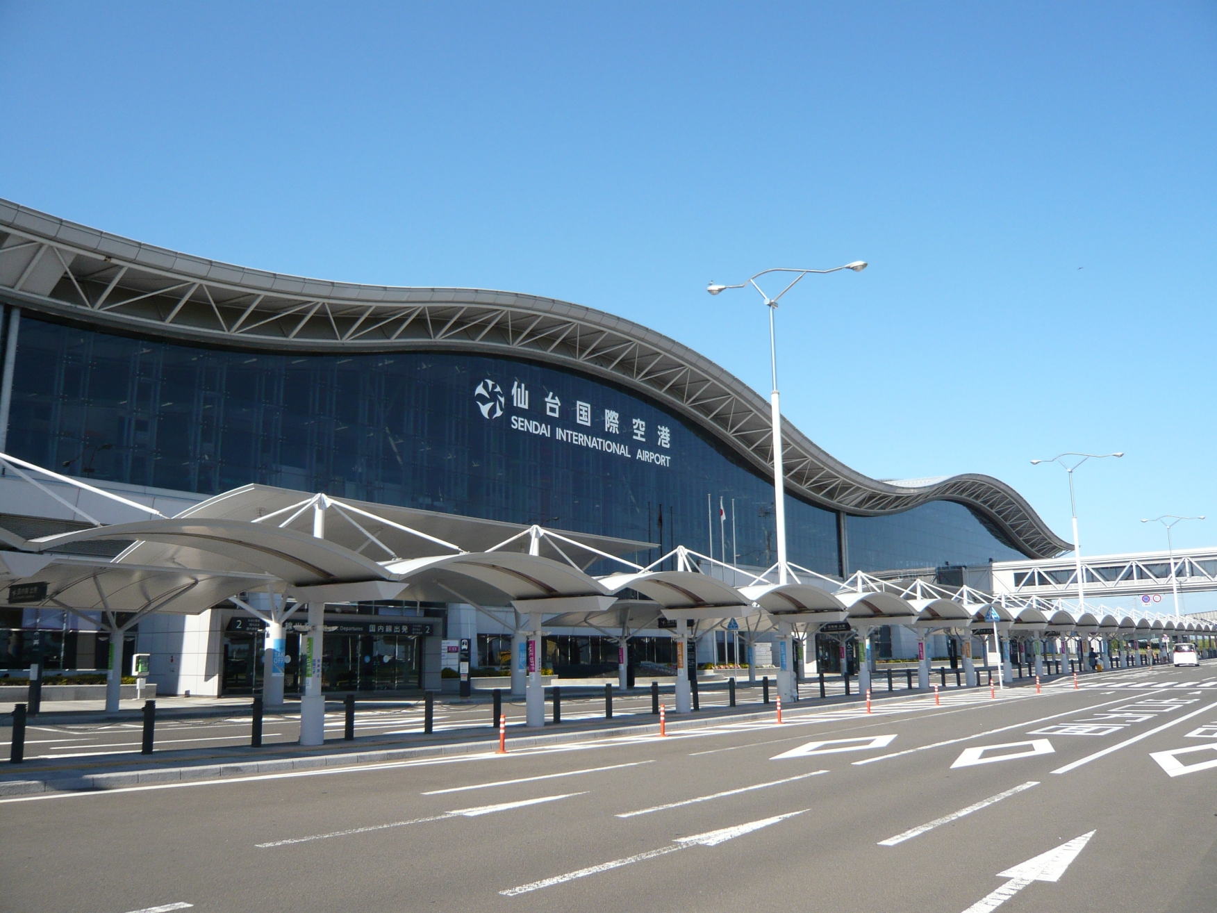
The next Linear Collider Workshop will take place in Sendai at the end of October 2019, and the closest airport is Sendai International Airport. The 2011 tsunami struck and damaged the building, but the airport has now been reborn as the Gateway to Tohoku. It takes around 25 minutes to get from the airport to Sendai City proper (with a direct train on the Sendai Airport Transit line).
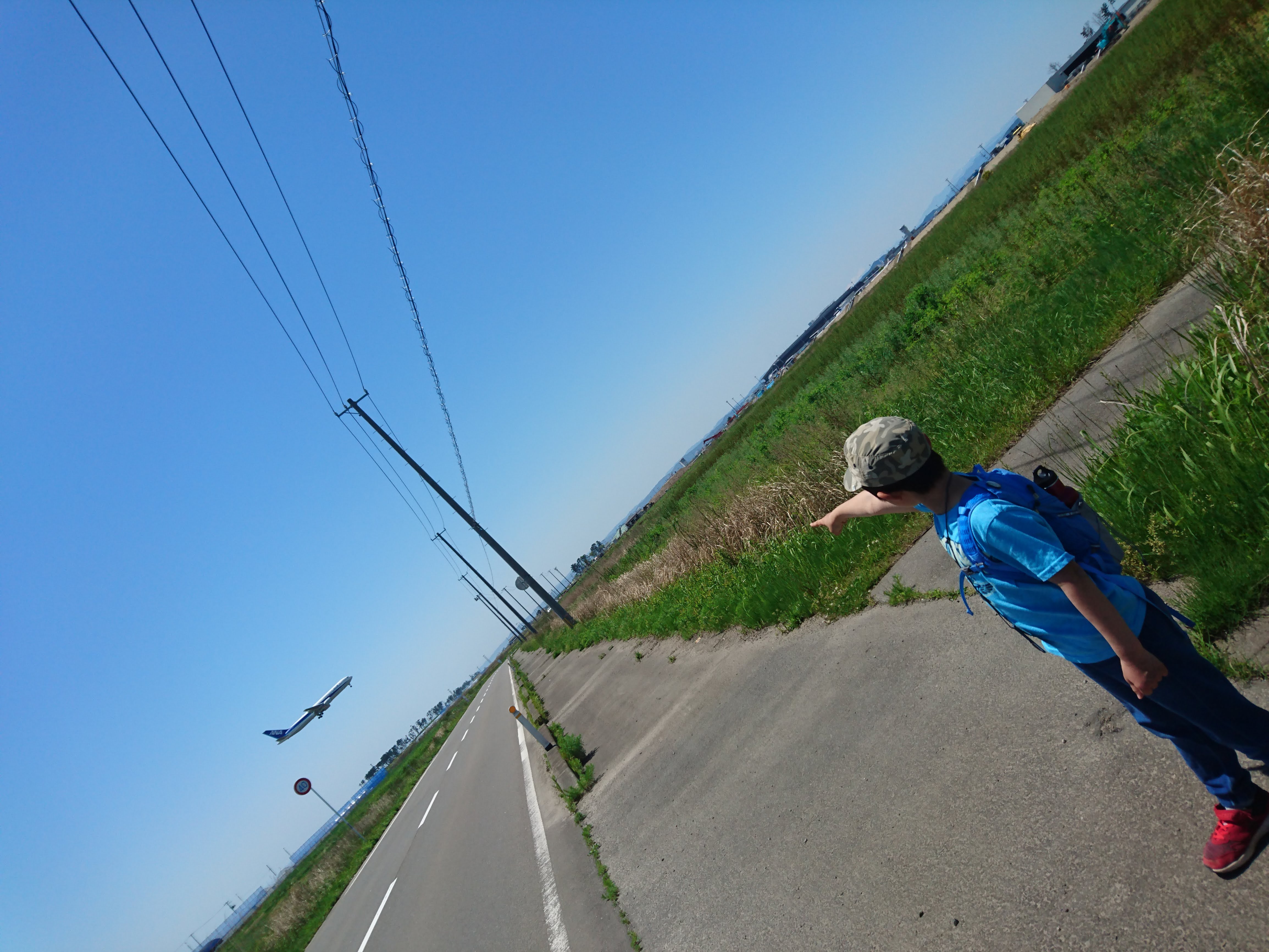
On this particular part of the trail, there aren’t really any “must-sees” or dynamic landscapes. You can’t really see the ocean. That’s because there’s a tall sea wall blocking the Pacific Ocean that was constructed to guard against the next tsunami.
On this route, you leisurely walk on paved roads by idyllic farmlands. This is perhaps the most wonderful point about the MCT – there’s so many ways to enjoy the trail.
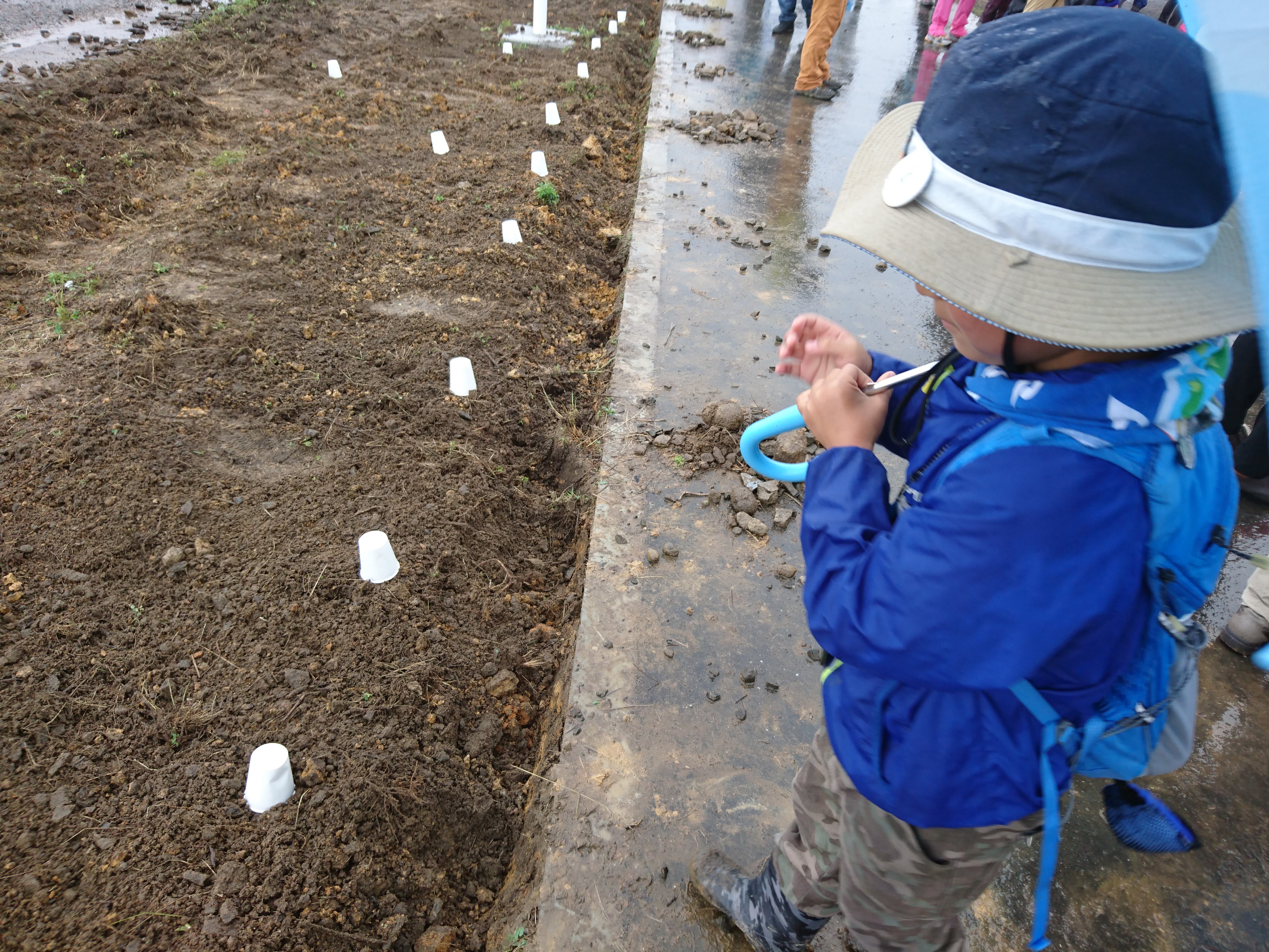
Mid-course, we planted cosmos flowers with the rest of the group. This is also part of the course for the Tohoku/Miyagi Reconstruction Marathon that will be held in October, so we planted flowers that will be in full bloom for the runners.
They might still be in bloom during the LCWS. If you see a yellow cosmos flower, it might be the one that I planted.
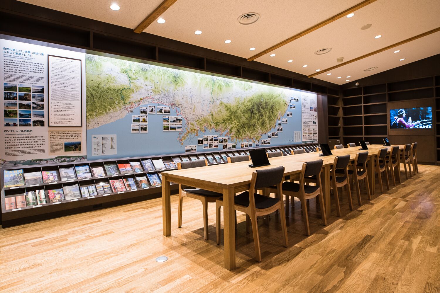
Then we reached the Natori Trail Center. This center, opened in April 2019, is not just a place where hikers can get information about the trail. You can also cook (in a truly superb kitchen), do your laundry (at a coin-operated laundromat), and even stay the night (there are showers and in the future they plan to build a camp site). The Natori Trail Center is a place with everything you need, and central hub for fun on the trail. It’s busy by the center as well, with shopping centers and a morning market.
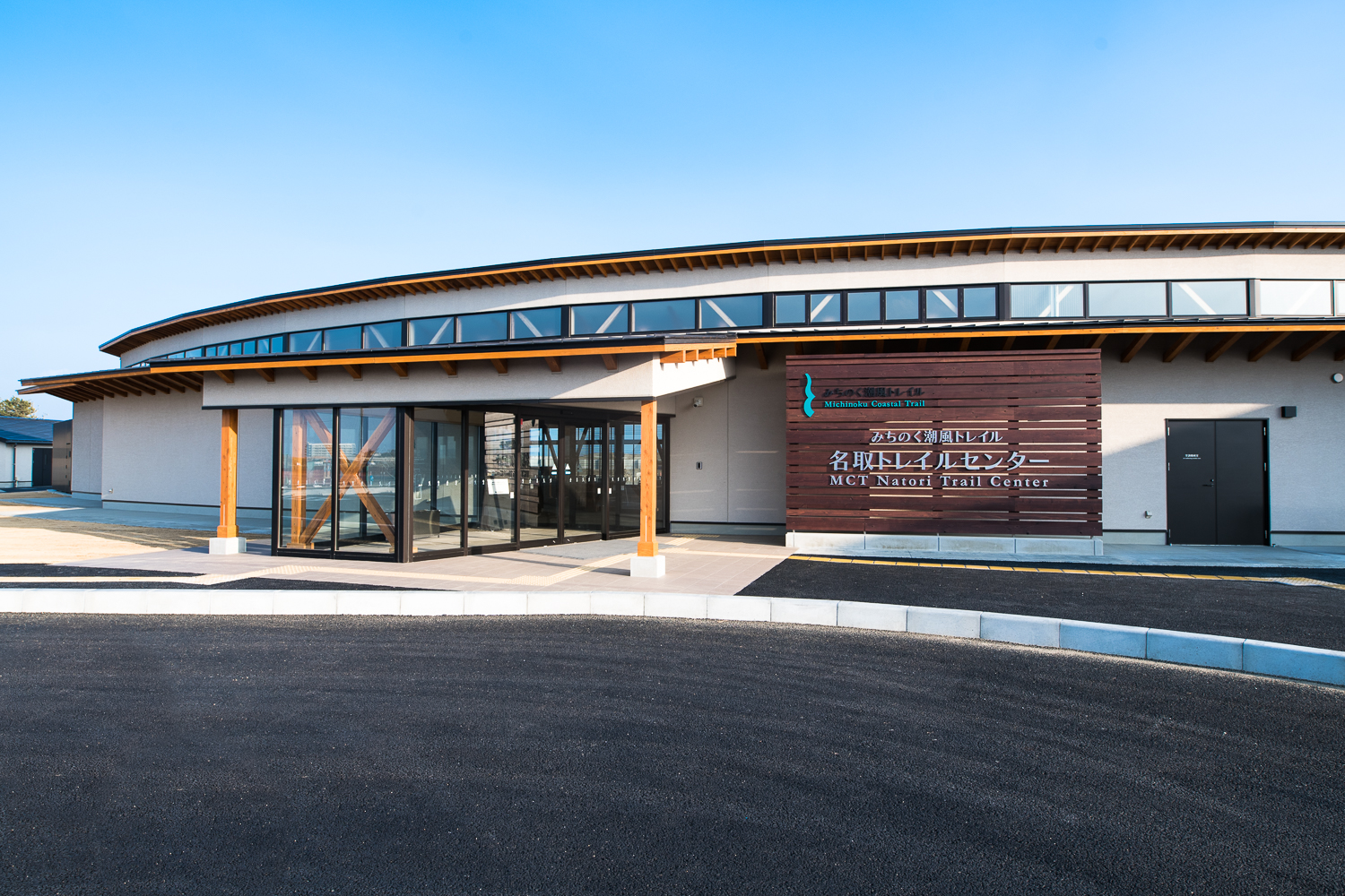
For all of you coming to LCWS in Sendai, I hope you’ll also visit the Natori Trail Center!
FYI
Michinoku Coastal Trail (English)
http://tohoku.env.go.jp/mct/english/
MCT Natori Trail Center (Sorry, this site is in Japanese only)
Japanese
日本初のナショナルトレイル「みちのく潮風トレイル」、ついに完成
世界の長距離自然歩道と言えば、2014年に公開された映画「Wild: From Lost to Found on the Pacific Crest Trail」の影響で、日本では(世界でも?)、アメリカの「パシフィック・クレスト・トレイル」が有名です。ヨーロッパでは、1993年にユネスコの世界遺産に登録された「サンティアゴ・デ・コンポステーラの巡礼路」があります。
日本では、2011年3月の東日本大震災の後、「国内だけでなく海外からも旅行者にきてもらい、被災地を広く知ってもらいたい」と、欧米発祥のロングトレイルを東北につくろう、という動きがスタート。この度、8年の歳月をかけてようやく2019年6月9日に、全長1,000kmの「みちのく潮風トレイル」が完成しました。アメリカのアパラチアン・トレイルは、National Scenic Trailに指定されていますが、みちのく潮風トレイルは、国立公園を歩く日本初のNational Trailです。
みちのく潮風トレイルは、青森県、岩手県、宮城県、福島県と東北の太平洋側、4つの県にまたがります。東日本大震災で大きな被害を受けた太平洋沿岸を、潮風を感じて、復興の様子を確かめながら、一歩一歩進みます。世界的にも、海岸沿いのトレイルコースは少ないそうです。
ILCの建設予定地、北上サイトがある岩手県内のルートは、みちのく潮風トレイルで最も険しいルートです。崖をはしごで上ったり、真っ暗なトンネルの中をライトを手に進んだりと、“海のアルプス”と称されるアドベンチャーコースが続きます(その様子は、次回お届けします)。
今回は、東北のゲートウェイ「仙台国際空港」から、トレイル管理のために新しく設置された「名取トレイルセンター」まで約8kmを歩きました。歩いたルートはこんな感じです↓
今年の10月末に、LCWSが仙台で開催されますが、そこから最も近い空港が「仙台国際空港」です。東日本大震災の際は、この空港も津波にのみ込まれ、大きな被害を受けましたが、現在は東北のゲートウェイとして新たに生まれ変わりました。空港から仙台市内へは、電車(仙台空港アクセス鉄道・乗り換えなし)で約25分です。
今回歩いたルートは、ダイナミックな地形や冒険心をくすぐるアトラクションはありません。海もほとんど見えません。太平洋側には、津波被害を防ぐために高い防潮堤が作られているからです。
舗装された道路を歩くルートで、のどかな田園風景の中をゆっくりと歩きます。海岸沿いだけでなく、様々な楽しみ方があるのがみちのく潮風トレイルの魅力なのかもしれません。
ルートの途中で、皆と一緒にコスモスの種を植えました。ここは、10月に開催される東北・みやぎ復興マラソンのコースにもなっていて、ランナーに満開のコスモスを見てもらうためです。
LCWSの頃も、まだ咲いているかもしれませんね。黄色いコスモスが見えたら、それは私が植えたコスモスかもしれません。
今回のゴール「名取トレイルセンター」。今年4月にオープンしたこのセンターは、ハイカーがトレイルの情報を入手できるだけでなく、炊事(立派な調理場あり)・洗濯(コインランドリー完備)・滞在(シャワー完備。キャンプ場もできる予定)と、何でもそろっていて、トレイルで遊ぶ拠点になります。トレイルセンターの周辺に、商店街や、朝市があって、とても活気のある場所です。
LCWSで仙台にお越しになった際は、ぜひ名取トレイルセンターにも遊びに行きましょう!